Striving for maximum interoperability
At GeoDin, we understand the importance of seamless integration in today’s fast-paced engineering environment. GeoDin focusses on interoperability to ensure that our tools work harmoniously with existing software and workflows, allowing you to maximize efficiency and productivity.
One software, many connections
Whether you’re working with Autodesk Civil 3D, LeapFrog, Esri, or other industry-standard applications, GeoDin provides a robust solution that enhances your geotechnical projects without disrupting your established processes.
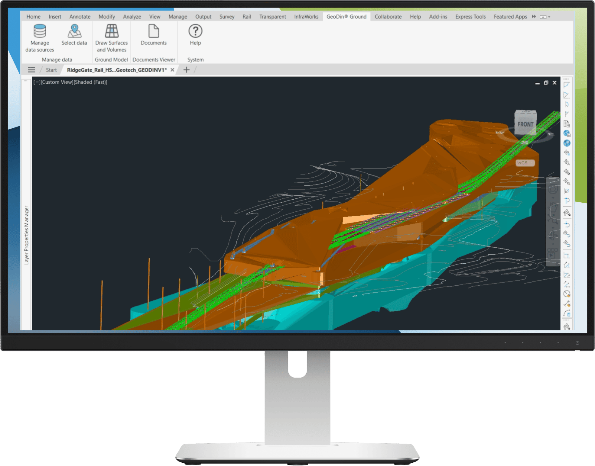
GeoDin integrates with Autodesk Civil 3D
GeoDin partnered with Autodesk to provide designers and engineers a better way to integrate ground data into designs, to create safer, more efficient and effective buildings. Learn more about our integrations here:
GeoDin for Autodesk Civil 3D
Learn how GeoDin integrates seamlessly with Autodesk Civil 3D to see below the ground while designing.
GeoDin as an alternative to Geotechnical Modeler
Explore the advantages of using GeoDin over Geotechnical Modeler that precedes GeoDin Ground for Civil 3D.

GeoDin integrates with LeapFrog Geo
GeoDin has partnered with Seequent to revolutionize how geotechnical engineers manage and visualize ground data within their 3D geological models. We provide a streamlined pathway to bring comprehensive 2D geodatabase information directly into your LeapFrog environment, eliminating the time-consuming challenges of manual data transfer and ensuring your models are always based on the latest, validated information.
GeoDin for LeapFrog Geo
Discover how GeoDin seamlessly connects your detailed geodata with LeapFrog's powerful 3D modeling capabilities.
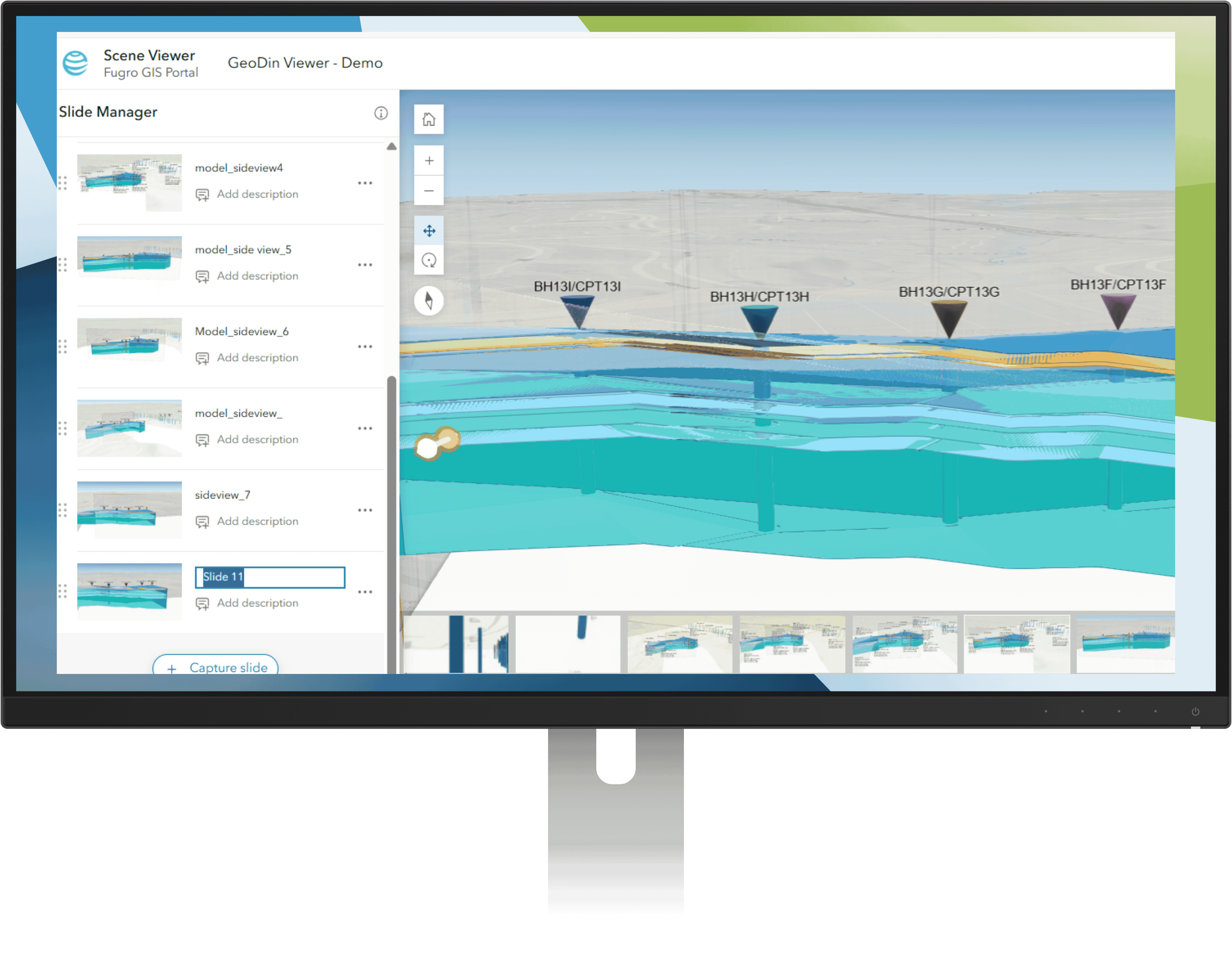
GeoDin integrates with Esri ArcGIS
GeoDin's GIS integration with Esri ArcGIS brings ground truth into the maps where site decisions are made. Manage boreholes, CPTs, and lab data in GeoDin, then publish them as ArcGIS Online features - complete with geometry, attributes, and attached logs. Civil designers, GIS analysts, and project owners pull current ground conditions on demand through ArcGIS Pro and 3D web scenes, no specialist software required.
BUILD ON SOLID GROUND™
Today with GeoDin®
Your cart
Taxes will be calculated at checkout