#1 geotechnical data management solution for geotechnical engineers
Handling geodata can be hard, but having a single source of truth is essential. With GeoDin software, you can easily manage your geodata, enabling all building and construction industry parties to build on solid ground.

GeoDin - the best geotech data management solution
Are you tired of juggling scattered spreadsheets, inconsistent borehole logs, and endless manual data entry? Traditional methods of managing geotechnical data are slow, prone to error, and make it impossible to get a clear picture of subsurface conditions. GeoDin replaces these outdated processes with a single source of truth, bringing all your geotechnical information into one powerful, easy-to-use platform that saves time, eliminates errors, and provides a solid foundation for your projects.
Transform how you handle geotechnical data
Stop struggling with scattered data and manual processes. GeoDin brings all your geotechnical information together in one powerful, easy-to-use software that saves you time and reduces errors.
Built by geotechnical engineers, for geotechnical engineers
GeoDin is a geodatabase management software designed to store, manage and analyze geological and geotechnical data. With a market presence of over 30 years, GeoDin provides advanced tools that handle everything from basic data presentation to comprehensive management with web-based sharing.
Create multilingual borehole logs, cross-sections, and site plans with customized queries that make data analysis both efficient and accurate. Our commitment to supporting top geological standards and integrating GIS features means you can handle even the most complex geotechnical challenges with ease and precision.
GeoDin is built on a powerful client-server architecture, providing the advantages of a multi-user database solution combined with specialized desktop software. This model gives your organization direct control over your data, enhancing security and ensuring performance is not dependent on internet connectivity. While cloud platforms are on the rise, our architecture is ideal for organizations with strict data governance policies or those operating in remote locations.
What does GeoDin do for you?
GeoDin is engineered to meet the rigorous demands of large-scale infrastructure development, offering a comprehensive suite of tools that streamline your geotechnical workflow from investigation to design and beyond.

Collect and store everything in one place
Our software securely manages all types of borehole data with flexible import options from any format (Excel, CSV, databases, and more), ensuring your project information is safely stored and meets international standards.
GeoDin also streamlines the integration of laboratory testing data. Connect directly with your LIMS or import standard lab data files (like AGS) to link test results, such as triaxial, consolidation, and shear tests - directly to your borehole samples. This eliminates manual data entry and ensures data integrity from the lab to the final report.

Process data faster and more accurately
Our software offers instant geotechnical calculations with transparent, pre-built formulas and templates for standard tests, plus the flexibility to create custom workflows that fit your team's processes.

Create professional reports in minutes
Move beyond manual report creation. GeoDin comes with hundreds of industry-validated templates for logs, cross-sections, and summary reports. Use our drag-and-drop editor to customize them to your brand standards, then generate reports for an entire project in a single batch process. All visualizations and calculations are updated automatically, ensuring your final deliverables are professional, accurate, and ready in a fraction of the time.
Now also available, GeoDin Ground: app for Civil 3D to visualize the ground directly in your design program
Why teams choose GeoDin as software
.png)
Standards & Compliance
GeoDin is built to enforce data quality and compliance with 11 international standards (including ISO, BS, and ASTM). Through standardized templates, smart validation fields, and controlled vocabularies, the software ensures that all data is consistent and accurate from the point of entry, keeping you audit-ready and confident in your results.
.png)
Integration & Accessibility
The platform seamlessly connects with tools you already use, including Autodesk Civil 3D, ArcMap, and QGIS. It's available in 7 languages including English, German, French, and Spanish, making it accessible to international teams.
.png)
Data security & Migration
Your data remains yours forever. As the industry moves beyond legacy systems, GeoDin provides a modern, actively supported platform for your valuable historical data. Our built-in gINT converter does more than just import your projects; it unlocks them. Transition seamlessly to a system with superior visualization tools, integrated workflows, and compliance with the latest international standards, ensuring your data's value grows over time.
.png)
Build a lasting data asset
Your geotechnical data is a valuable asset. GeoDin helps you protect and leverage it by creating a centralized, searchable database. This allows you to easily access and reuse historical data for new projects in the same area, reducing the need for costly new investigations and building a deeper understanding of regional ground conditions over time.
Finding the right fit in a changing market
The geotechnical software landscape is evolving. While many firms are migrating from legacy tools like gINT, a new generation of cloud-only platforms has emerged. GeoDin offers a unique balance: the power, stability, and data control of a dedicated client-server application combined with modern integrations for GIS and CAD, plus mobile apps for field data. This makes it the ideal choice for firms that prioritize data security and performance without sacrificing connectivity to essential design and visualization tools.
You’re not alone - expert support when you need it
Get help from our experienced team with 30+ years in geotechnical software. Multilingual support and continuous updates included.
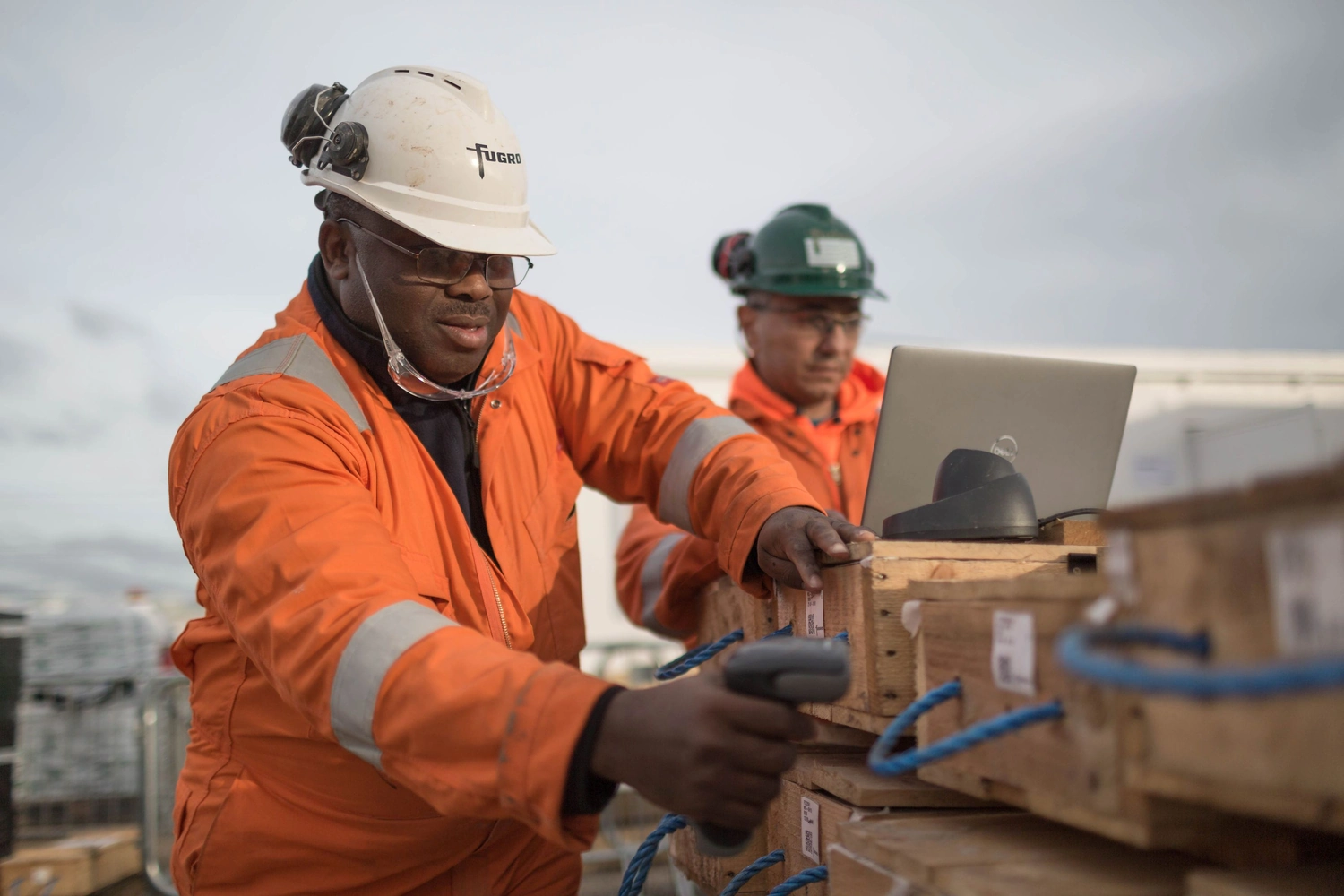
As geotechnical professionals ourselves, we understand your daily challenges with data management and project delivery. That's why GeoDin was specifically designed to address the real-world struggles of geotechnical engineers, consultants, and project managers.
Who is our software dedicated to?
- Geotechnical consultants who need to process data efficiently and create professional reports
- Environmental firms managing groundwater and soil contamination data
- Construction companies requiring accurate subsurface information for projects
- Government agencies needing standardized, compliant data management
See all industries that use GeoDin here.
Frequently Asked Questions
If you don’t see your question here, we’re always available to help.
Get in touch to discuss your needs, explore opportunities, or clarify how we work.
BUILD ON SOLID GROUND™
Today with GeoDin®
Your cart
Taxes will be calculated at checkout